The Shyok River Story: Lifeline of the Karakoram
April 22, 2026
There are rivers in India that get written about constantly. The Ganga. The Brahmaputra. The Indus, when the conversation turns to civilisational origin stories. The Shyok doesn’t appear in those conversations often. It runs through terrain most Indian travellers have never visited, feeds a valley that most maps render in blank brown, and carries a history of glacial floods and impossible crossings that tourism hasn’t yet turned into a digestible narrative.
The Shyok River story deserves better. This is the river that drains the eastern Karakoram, shapes the entire character of Nubra Valley, and joins the Indus near Skardu. Understanding the Shyok is understanding the lifeline of the Karakoram, the water system that makes habitation possible in one of the harshest environments on Earth.
The Geology
The Shyok originates near the Rimo Glacier in the eastern Karakoram. Glacial meltwater at altitude. The descent carries it through some of the most geologically active terrain on the subcontinent before reaching the Indus, cutting through the Karakoram range in gorges that the uplift of mountains and the persistence of water created over millions of years.
The valley alternates between narrow gorge and wide floodplain. Dramatic transitions. The landscape changes character every few kilometres without warning. The Karakoram fault runs alongside the river in sections, one of Asia’s most active tectonic boundaries, responsible for the continued uplift of the range and the seismic activity the valley’s residents have always lived alongside.
The Shyok River story is partly about water. Partly about continental collision still in progress. Neither story has finished.
The Flood History
The Shyok has a reputation in the historical record that the geology explains directly.
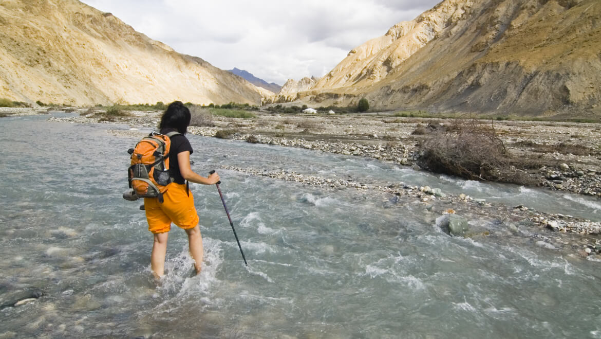
Glacial lake outburst floods, the sudden catastrophic release of water dammed by glacial ice, have periodically sent walls of water down the Shyok Valley. Villages destroyed. Agricultural terracing built over generations erased in hours. The caravan infrastructure of the ancient Silk Route repeatedly disrupted at exactly the points where the trade economy was most dependent on it.
The 1929 Shyok flood is the most cited in the historical literature. A glacial dam failed. The flood pulse reshaped the riverbed, destroyed the terracing, and reached the Indus with enough force to temporarily dam that river as well. Two rivers affected by one failure upstream.
This is the lifeline of the Karakoram in its most complicated expression. The same water that irrigates the apricot orchards carries the capacity for periodic destruction that no engineering has fully resolved. The communities along the Shyok have been negotiating this duality for as long as they have been communities. That negotiation continues.
The Valley It Made
The Shyok River story is also, and perhaps more importantly, the story of what the river allowed.
The floodplains it deposited over millennia, silt and sand and mineral content from the Karakoram’s extraordinary geological variety, created the agricultural land that Nubra Valley’s apricot and barley farming is built on. Villages positioned deliberately on higher terraces. Fields on the lower floodplain where the river’s deposits were richest. Irrigation channels diverting glacial water onto crops in proportions that the farming communities developed empirically across generations without the benefit of hydrology textbooks.
The lifeline of the Karakoram is not a metaphor in Nubra Valley. It is the literal agricultural foundation. At 4,000 metres of elevation with near-zero rainfall, nothing grows here without the river’s contribution. That’s not poetic exaggeration. It’s the agricultural reality of a cold desert.
The Bactrian camels grazing on the Hunder and Sumur sand dunes, themselves wind-deposited sediment from the Shyok’s floodplain, are the most photographed element of Nubra Valley tourism. They exist because the river made the valley habitable enough to sustain a trade route between Central Asia and the Indian subcontinent for centuries.
The monasteries. The Diskit Buddha looking out over the valley. The village architecture of Tegar and Sumur. The apricot orchards flowering every spring. All of this sits in the landscape the Shyok River story produced over geological time. The river didn’t just flow through this
The River Today
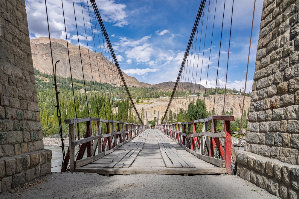
The Shyok remains difficult to travel alongside. The road through the valley, connecting Leh to the Daulat Beg Oldie airstrip near the Karakoram Pass, is one of the more technically demanding routes in Ladakh. Bridges periodically taken by floods the river still periodically delivers. Road sections rebuilt after every significant event.
The strategic significance of the valley increased sharply after 1999. The Kargil conflict and the subsequent attention to the Line of Actual Control made the Shyok corridor a defence priority. The Darbuk-Shyok-DBO road, completed and upgraded over the following decades, now carries military logistics alongside the shepherds and the occasional tourist.
The river itself remains indifferent to all of this. It runs where the gradient takes it, floods when the upstream glaciers dictate, deposits silt where the topography allows. The lifeline of the Karakoram operated on its own timeline long before the roads arrived and will continue operating on that timeline long after they’re gone.
Lchang Nang Retreat — Nubra Valley
In Teggar Village, on the banks of the Nubra River, the Shyok’s tributary that gave the valley its name. Owned by the Kalon family of Nubra, built on family grazing land on the riverbank.
Multiple cottages are designed in traditional Ladakhi style using mud, stone, poplar timber, each with a private garden sit-out facing the orchards the Shyok’s agricultural legacy produced. The Karakoram is visible above the treeline. Experiences built around the valley’s geography, stargazing across the dunes, guided walks through nearby villages, mindfulness sessions with a monk from Samstanling Monastery just 2.2 kilometres away, sunset yoga on the sands, and a Farm Table kitchen that uses produce grown in the property’s own orchards..
Solar-powered operations. Glacial meltwater systems. No single-use plastics. Recognised by National Geographic, Condé Nast Traveller India, and Architectural Digest India. A Six Senses partner.
The Shyok made this valley. Lchang Nang is where it becomes a stay.